
Empowering the Geospatial Industry
with AI Solutions
Unlock the full potential of your geospatial data with our AI-powered platform for faster decision-making, smarter insights, and seamless collaboration.
Who We Are
GeoAI is a pioneering company at the intersection of geospatial technology and artificial intelligence
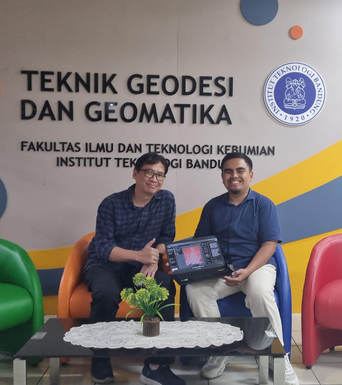
Our Team
We're a diverse team of geospatial experts, AI specialists, and software engineers dedicated to transforming how organizations work with location data.
Our Mission
To democratize access to advanced geospatial AI technology, making powerful location intelligence tools accessible to organizations of all sizes.
Our Expertise
With decades of combined experience, we've helped organizations across energy, urban planning, transportation, and environmental sectors unlock the power of their geospatial data.
Our Story
GeoAI was founded in 2025 by a team of geospatial experts who recognized the transformative potential of applying artificial intelligence to location data.
After years of working with traditional GIS tools, our founders saw an opportunity to create a more intuitive, powerful platform that would make advanced geospatial analysis accessible to everyone, not just technical specialists.
Today, we're proud to serve clients across multiple industries, helping them derive meaningful insights from their geospatial data and make better-informed decisions.
Building the future of geospatial AI together

GeoAI in KINETIK Program to Support Geospatial Data on Climate and Renewable Energy
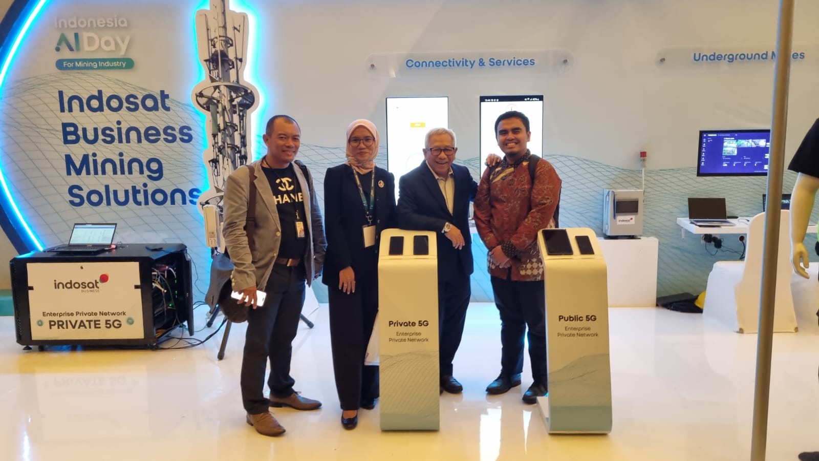
Partnering with industry leaders
Our Products & Services
Explore our comprehensive range of geospatial solutions powered by AI
GeoAI One-Stop Platform (NIKA)
A comprehensive geospatial platform for data management, visualization, and collaboration.
IT Consulting & Custom Software Development
Tailored geospatial solutions to meet your specific industry needs and challenges.
Data Services
Access feature-ready datasets and on-demand data collection services for your projects.
Meet NIKA: Our One-Stop Geospatial AI Platform
A comprehensive solution that integrates AI with geospatial data to provide powerful insights and streamline workflows
Proudly serving as the exclusive Indonesian Partner for NIKA Planet platform
Transform your geospatial data into actionable intelligence
NIKA brings together data management, AI analytics, and real-time collaboration tools to help you unlock the full potential of your geospatial data.
- Advanced AI-powered analytics and automation
- Seamless data integration from multiple sources
- Real-time collaboration and decision-making tools
- User-friendly interface requiring minimal training
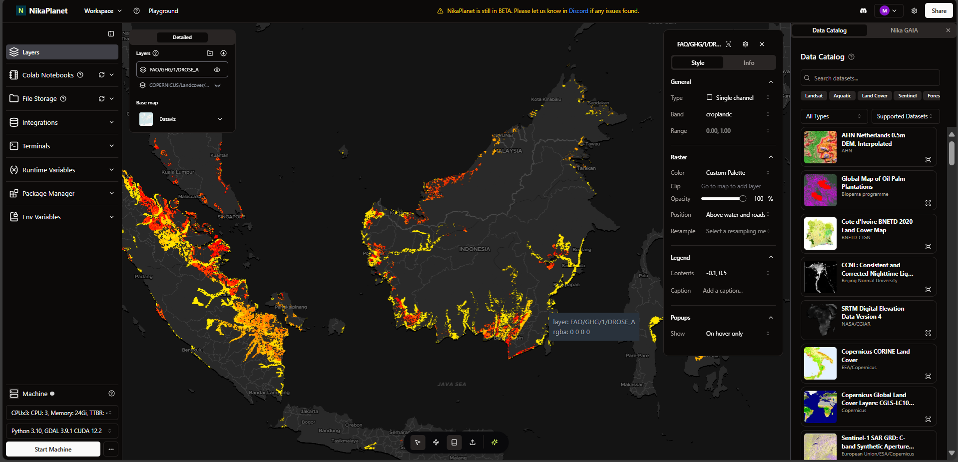
NIKA Platform - Geospatial Analysis Dashboard
Data Management
Streamlined geospatial data ingestion, storage, and organization with automatic metadata handling.
Spatial Analysis
Advanced tools for analyzing geospatial data with AI-driven insights and pattern recognition.
Collaboration Tools
Real-time sharing and collaboration features for team-based projects and stakeholder engagement.
AI Processing
Leverage machine learning for automated feature extraction and predictive analytics.
API Integration
Seamlessly connect with third-party applications and services through our comprehensive API.
Advanced Visualization
Interactive mapping and data visualization tools that bring your geospatial data to life.
Why Choose GeoAI?
Our platform provides innovative solutions to overcome the key challenges in the geospatial industry.
Complex Geospatial Tools Simplified
Industry Challenge: Traditional geospatial tools require specialized expertise and significant training.
Our Solution: AI-Driven Geospatial Tools
Our intuitive platform simplifies complex workflows through AI-powered automation and user-friendly interfaces.
- Automated data processing and analysis
- Intuitive map creation and visualization
- Real-time collaboration features
Accessible AI Technology
Industry Challenge: Most organizations cannot afford the high costs of integrating AI with geospatial workflows.
Our Solution: Affordable Pricing
GeoAI offers flexible, subscription-based pricing models that make advanced geospatial AI accessible to all.
- No large upfront investments
- Pay-as-you-go options for smaller projects
- Scalable solutions that grow with your needs
Rapid Development & Cost Efficiency
Industry Challenge: Developing geospatial applications traditionally requires significant time and resources.
Our Solution: One-Stop Platform
GeoAI provides a comprehensive platform integrating all tools for geospatial data management and analysis.
- Pre-built solutions for common challenges
- Customizable workflows to match your needs
- Integrated data marketplace for quick access
Seamless Data Integration
Industry Challenge: Organizations struggle to combine data from various sources into cohesive geospatial insights.
Our Solution: Unified Data Platform
Our platform connects to multiple data sources and formats, creating unified geospatial intelligence.
- Connect to 50+ data sources with minimal setup
- Automated data normalization and cleaning
- Real-time data synchronization capabilities
Advantages of GeoAI
Discover how our platform provides unique benefits for your geospatial needs
One-Stop Solution
From data collection to visualization, GeoAI provides a fully integrated platform for all your geospatial needs.
One-Stop Solution
From data collection to visualization, GeoAI provides a fully integrated platform for all your geospatial needs.
Faster Delivery
GeoAI's AI-powered solutions enable faster deployment and quicker time to insights compared to traditional methods.
Faster Delivery
GeoAI's AI-powered solutions enable faster deployment and quicker time to insights compared to traditional methods.
No Upfront Costs
GeoAI ensures that clients can start with minimal financial risk and pay as they go.
No Upfront Costs
GeoAI ensures that clients can start with minimal financial risk and pay as they go.
Get Started with GeoAI
Ready to transform your geospatial data into actionable insights? Request a demo today and see our AI-powered platform in action.
Case Studies
See how our solutions have helped real organizations solve complex geospatial challenges
Optimizing Pipeline Route Planning
We helped a major oil and gas company reduce planning time by 60% with AI-powered route optimization for new pipeline infrastructure.
Client: Major Energy Corporation
Urban Development Planning
Our GeoAI platform helped a property development company analyze land use patterns and optimize site selection for a new urban development project.
Client: Major Property Developer
Disaster Response Optimization
We developed a custom solution that helped emergency services improve response time by 35% using real-time geospatial data analysis.
Client: Regional Government Agency
Environmental Conservation Mapping
Our AI-powered mapping helped conservationists track deforestation patterns and wildlife movements across protected forest areas.
Client: International Conservation Organization
Client Testimonials
Hear from organizations that have transformed their operations with our GeoAI solutions

"GeoAI's pipeline optimization solution reduced our planning phase by 60% and saved millions in development costs by identifying the most efficient routes right from the start."
Michael Chen
Director of Infrastructure, Global Energy Partners
Trusted by Leading Organizations
We're proud to partner with industry leaders who trust our geospatial AI solutions


Get Free Consultation for GeoAI Implementation on Your Business Now
Contact Us
Have questions about our services? Reach out to our team and we'll get back to you quickly.